

SITREP: Pakistan’s PRSC-EO3 Launch Signals Emergence of Persistent ISR Capability, Gap with India Endures

At a technical level, PRSC-EO3 enhances Pakistan’s ability to generate more frequent imagery over areas of interest, which directly improves temporal awareness. The shift from a single or limited satellite architecture to a three-satellite constellation reduces revisit gaps and allows for more consistent monitoring of fixed and semi-dynamic targets such as infrastructure, border deployments, and logistics nodes. The inclusion of onboard processing suggests an attempt to shorten the sensor-to-decision loop, even if in early form. However, the system remains constrained by the inherent limitations of electro-optical imaging. It is dependent on daylight and is degraded by cloud cover, haze, and atmospheric conditions. Resolution, while improved, is still assessed to be in the sub-meter but not leading global tier, which limits its utility for fine-grained tactical intelligence when compared to top-end systems.
This is where the comparison with India becomes analytically important. India’s electro-optical capability, represented by platforms such as Cartosat-3, operates at a significantly higher resolution threshold of around 0.25 metre. This difference is not cosmetic. It determines whether imagery can be used for precision targeting, object classification, and detailed battle damage assessment. Pakistan’s PRSC-EO3 constellation improves persistence but does not yet match this level of detail. In effect, Pakistan is improving how often it can see, while India retains an advantage in how clearly it can see.
More decisive, however, is India’s parallel investment in radar imaging through the RISAT series. Synthetic Aperture Radar fundamentally alters ISR dynamics by enabling all-weather, day-and-night imaging. In operational environments characterised by cloud cover, fog, or deliberate concealment, SAR ensures continuity of surveillance. Pakistan’s current architecture lacks this capability. This creates a structural asymmetry. Even with a functioning optical constellation, Pakistan’s ISR will experience periodic blindness under adverse conditions, while India’s will not. In a crisis or conflict scenario, that difference translates directly into gaps in situational awareness.
Scale and system depth further reinforce India’s advantage. India operates a layered Earth observation ecosystem with multiple satellite families providing overlapping coverage and complementary sensing modalities. This enables cross-validation of intelligence, higher revisit frequencies across different sensor types, and resilience against satellite failure or disruption. Pakistan’s three-satellite constellation represents an important starting point, but it does not yet offer comparable redundancy or flexibility. It improves coverage, but it does not yet enable continuous, multi-sensor surveillance across all priority sectors.
The more complex question is whether Pakistan can leverage the PRSC-EOS constellation for targeting support, particularly in guiding missiles or drones. In a strict technical sense, electro-optical satellites like PRSC-EO3 are not designed for real-time weapons guidance. They do not provide the continuous, low-latency tracking required to guide a missile in flight. However, they can play a significant role in what may be termed pre-strike and post-strike phases. High-resolution imagery can be used to identify and map targets, update target coordinates, and assess vulnerabilities before an operation. After a strike, the same system can support battle damage assessment.
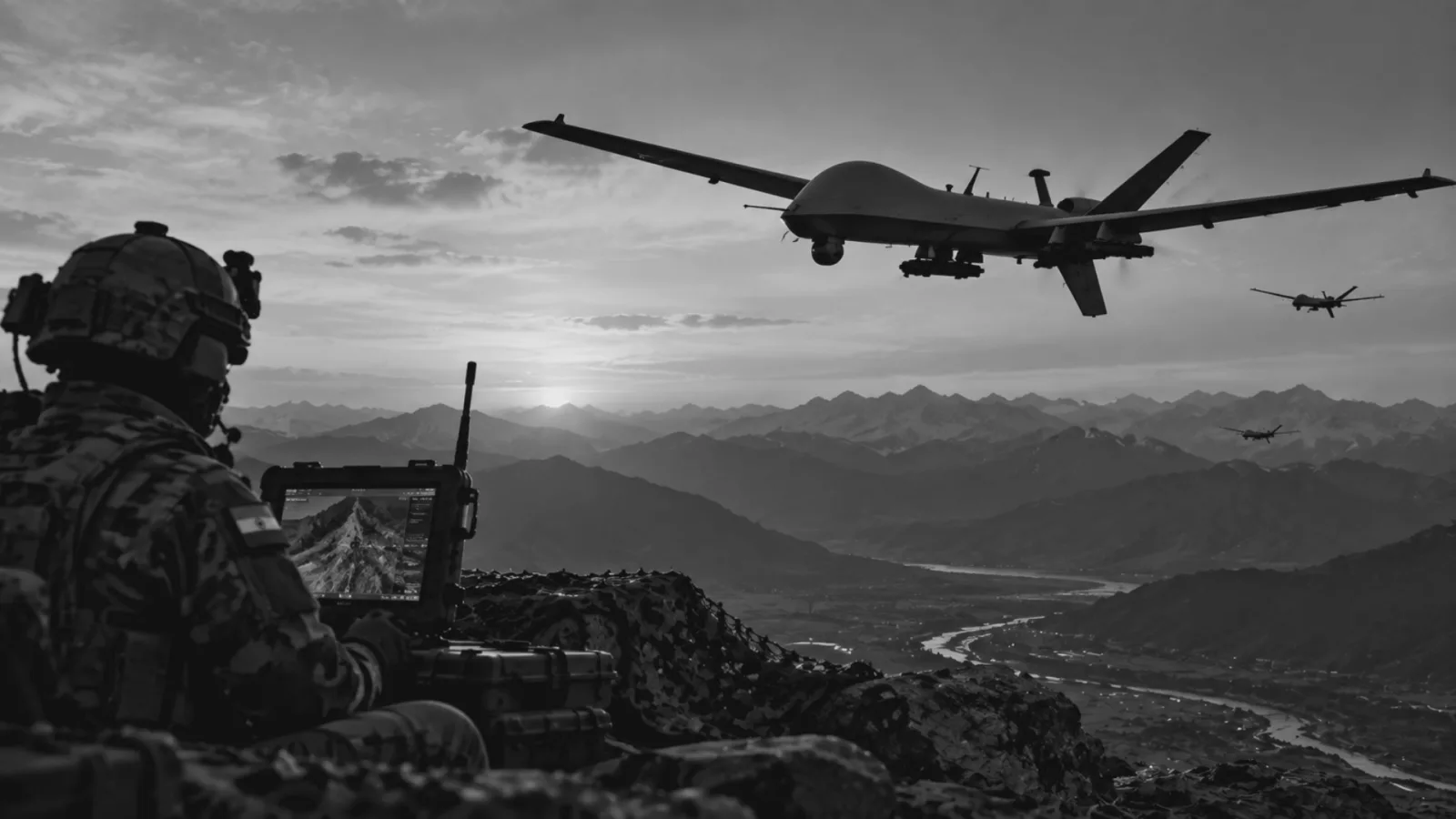
Where the capability becomes more relevant is in integration with other systems. If Pakistan combines satellite-derived intelligence with unmanned aerial vehicles, ground-based sensors, and possibly Chinese-supported navigation or positioning inputs, it can create a more effective targeting chain. For drones, particularly long-endurance or reconnaissance-strike platforms, satellite imagery can provide initial target acquisition and mission planning data. In some cases, near-real-time updates from a constellation with improved revisit rates can support dynamic retasking, although not direct control. For ballistic or cruise missiles, satellite inputs can refine targeting accuracy before launch, especially when combined with other intelligence sources.
The key limitation remains latency and persistence. Without a dense constellation or geostationary surveillance assets, Pakistan cannot yet achieve continuous tracking of mobile targets from space. Nor can it independently support real-time targeting loops required for advanced network-centric warfare. This is where India’s broader ecosystem and operational integration provide an edge. Indian space assets are already embedded within military workflows, supporting planning, surveillance, and operational execution. Pakistan is in the early stages of building such integration.
The China factor again becomes critical in this context. If Pakistan gains access to Chinese satellite data, navigation systems, or ISR networks, its effective capability could exceed what its indigenous assets alone would suggest. This raises the possibility of a hybrid ISR architecture where national satellites like PRSC-EO3 are supplemented by external inputs, thereby mitigating some inherent limitations. It also suggests a pathway for future capability expansion, particularly in radar imaging and real-time data relay.
In analytical terms, PRSC-EO3 marks Pakistan’s transition from limited and intermittent observation toward a more structured and persistent ISR posture. It enhances situational awareness, supports targeting cycles at the planning level, and reduces dependence on external commercial imagery. However, it does not yet enable real-time strike guidance or close the gap with India’s more advanced, diversified, and operationally integrated space architecture. India retains a clear advantage in resolution, sensor diversity, system depth, and doctrinal maturity. The most important asymmetry remains radar-based all-weather surveillance, which continues to give India a decisive edge in maintaining uninterrupted visibility across the battlespace.